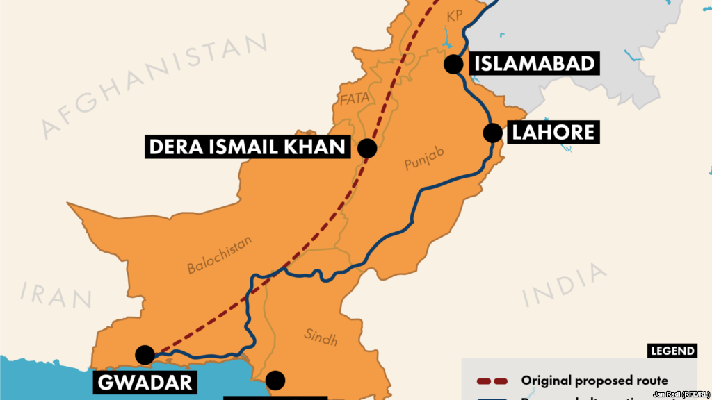
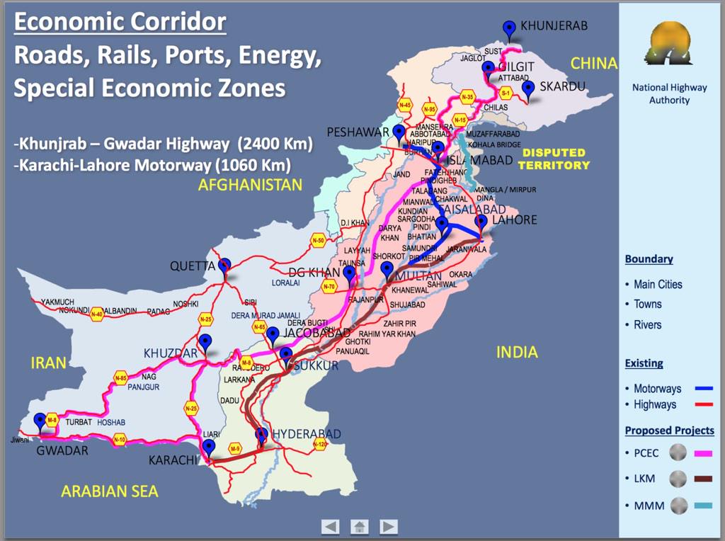
Gwadar may be important from a military and perhaps psychological point of view, but, IMO, is not useful for "transporting petroleum to the interior provinces of China". Nor is it really useful for exporting goods from China to the Middle East.
Gwadar may also provide some redundancy for Karachi in case of hostilities with India. But Gwadar is too far from the population centers of Pakistan to be really useful.
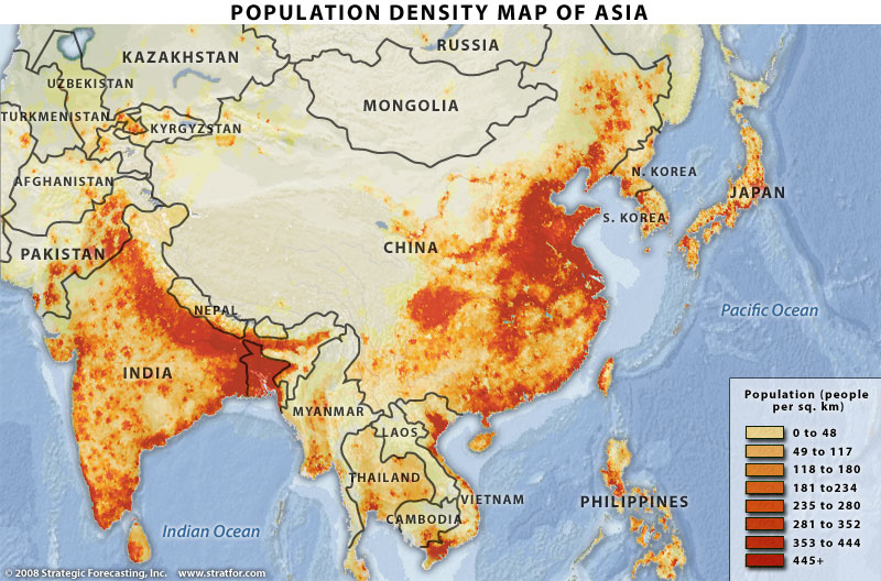
The map below shows where the population is that the oil has to get to, and where the production has to be exported from.
For Tibet, there is a oil pipeline from Golmud in Qinghai province to Lhasa.
I'll bet to get oil to Xinjiang, a pipeline with supply from Central Asia or Russia will be cheaper than road transport through Pakistan. I bet even ship supply to ports in the dense area of China + pipelining it from there to the interior will be cheaper than road transport through Pakistan.
Roughly, I believe per ton mile, rail costs three times as much as shipping, and road costs at least twice as much as rail. For oil (for North America) I find an International Energy Agency number that pipeline transport costs one-third of that by rail; the main problem in the US is it is easier to get new railway permits than new oil pipeline construction permits.
Some guru here can perhaps give more accurate numbers on transport costs, but I think the point is that apart from military stuff, what will be travelling down the Karakorum highway will be whatever Pakistan produces, and can sell to Xinjiang and perhaps Tibet - not great markets; and vice versa.
If China builds a pipeline to Gwadar, or builds a railway line, then I'll wake up; otherwise it is all a Pakistani pipe-dream.
Since all this is based on about a half-hour of thinking, googling and staring at maps, I hope the truly knowledgeable will jump in.